





Passive Income Ideas Using Real Estate
Practical ways property owners, investors, and Nigerians in the diaspora can build steady income through smart real estate investments.
Real estate remains one of the most reliable ways to build wealth because it offers more than ownership. A well-selected property can generate income, increase in value, protect capital, and create long-term financial stability.
For many Nigerians, especially those at home and in the diaspora, real estate is not just about buying land or building a house. It can also become a source of passive income when properly planned, managed, and positioned.
At House and Land Naija, we help investors understand real estate opportunities clearly so they can make informed decisions and build property portfolios with confidence.
What Is Passive Income in Real Estate?
Passive income in real estate means earning money from property with limited daily involvement after the investment has been properly set up. It does not mean there will be no work at all. It simply means the property is structured to keep generating income over time.
This income can come from rent, short-let bookings, land appreciation, commercial leasing, joint ventures, or property partnerships.
1. Long-Term Residential Rental Income
One of the most common ways to earn passive income from real estate is by renting out residential property. This could be a flat, bungalow, duplex, serviced apartment, or block of apartments.
Long-term rental income is attractive because it provides predictable cash flow. Once a tenant occupies the property, the owner can receive rent yearly, monthly, or quarterly depending on the agreement.
Best for:
- Investors who want steady income
- Diaspora owners who need reliable local returns
- Retirees planning future cash flow
- Landlords who prefer low daily involvement
The key is to buy or build in a location with strong rental demand, good access roads, security, and basic infrastructure.
2. Short-Let Apartment Income
Short-let apartments have become popular in cities where people travel for business, leisure, medical visits, family events, or temporary work assignments.
Unlike regular rentals, short-let apartments are rented daily, weekly, or monthly. This means the income potential can be higher when the apartment is well furnished, properly maintained, and located in a high-demand area.
Strong short-let locations usually include:
- Business districts
- Airport-accessible areas
- Secure estates
- Tourism or leisure zones
- Areas close to hospitals, schools, or event centres
However, short-let income requires good management. Cleanliness, fast maintenance, security, guest communication, and online visibility are very important.
House and Land Naija Tip
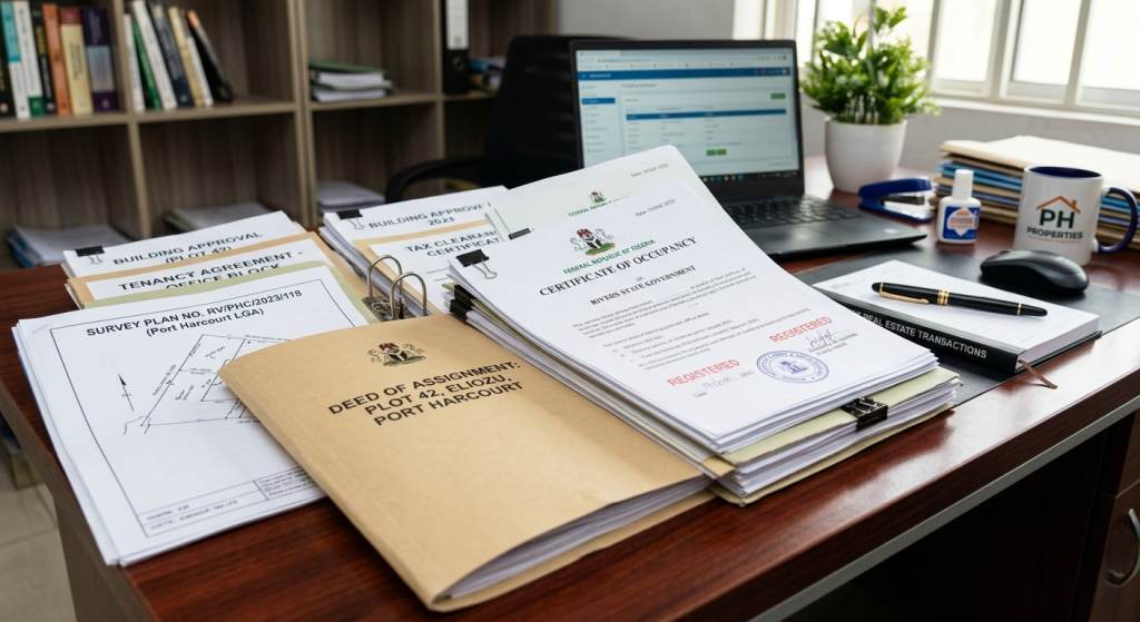
Real estate income becomes more passive when the property is properly selected, professionally managed, and protected with good documentation.
3. Commercial Property Leasing
Commercial real estate can generate strong passive income when the property is located in a busy or strategic area. This includes shops, office spaces, warehouses, event spaces, school buildings, and medical facility spaces.
Businesses often prefer long-term leases, which can give property owners consistent income over several years.
Examples of commercial rental opportunities:
- Mini shopping complexes
- Office suites
- Warehouses
- Restaurant or lounge spaces
- School or training centre spaces
- Medical or diagnostic centre buildings
Commercial tenants may also take better care of spaces when their business image depends on the property.
4. Land Banking for Future Appreciation
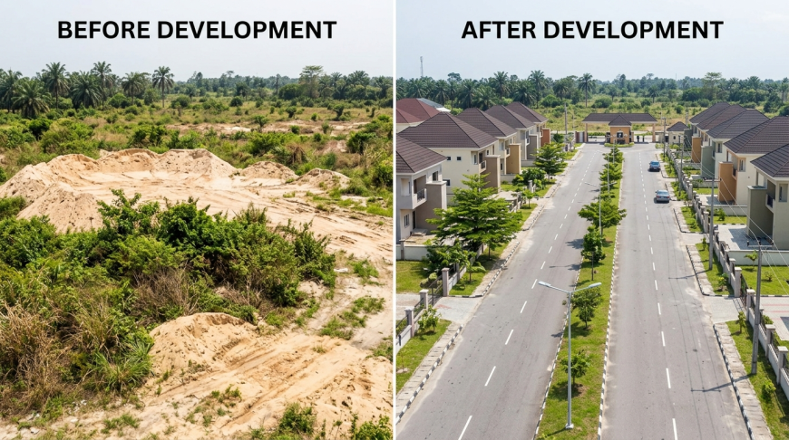
Land banking means buying land in a developing area and holding it for future value growth. While it may not produce immediate monthly income, it can generate strong profit when the area develops and the land value increases.
Many investors have made significant returns by buying land early in emerging locations before major roads, estates, businesses, and infrastructure arrive.
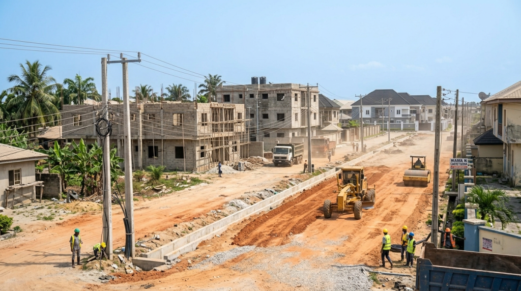
Good land banking areas usually show signs of:
- Government road projects
- New estates and developments
- Population growth
- Nearby schools, hospitals, or businesses
- Improving infrastructure
- Future commercial activity
Before buying land, proper verification is critical. Documentation, title, ownership history, access road, zoning, and community issues must be checked carefully.
5. Build-to-Rent Property Development
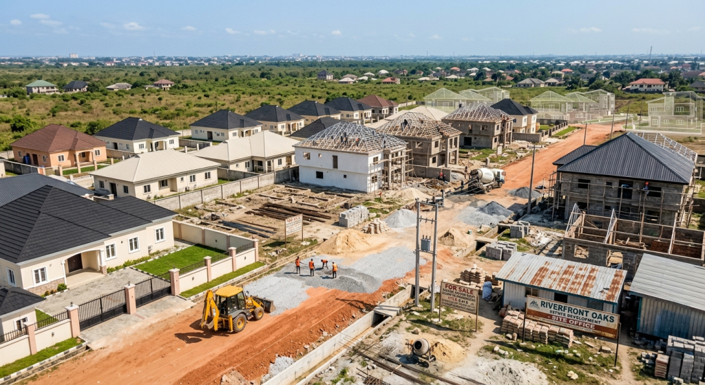
Build-to-rent means constructing property specifically for rental income. Instead of building only for personal use, the investor designs the property with tenant demand in mind.
For example, in some areas, one-bedroom and two-bedroom apartments may rent faster than large duplexes. In other areas, family-sized apartments may be more profitable.
Before building for rent, consider:
- What type of tenants live in the area
- Current rent prices
- Security and accessibility
- Parking space
- Power and water availability
- Maintenance cost
A property built for the right audience can enjoy better occupancy and stronger returns.
6. Real Estate Partnership or Joint Venture
Not every investor wants to build or manage property alone. Real estate partnerships allow investors to combine resources with developers, landowners, or other investors.
For example, a landowner may contribute land while a developer funds construction. After completion, both parties share units or profits based on their agreement.
This can work for:
- Landowners without construction funds
- Investors who want shared risk
- Developers looking for land opportunities
- Diaspora investors who want guided participation
However, all partnerships must be properly documented by legal professionals before money or land is committed.
7. Serviced Apartment Investment
Serviced apartments combine residential comfort with hotel-like convenience. They can attract professionals, expatriates, business travelers, corporate guests, and long-stay visitors.
A serviced apartment may include cleaning, security, power backup, internet, maintenance support, and furnished interiors.
When managed properly, serviced apartments can command higher rates than ordinary rentals because guests are paying for convenience and comfort.
8. Rental Income From Student Housing
Student housing can be a profitable real estate income idea in areas close to universities, polytechnics, colleges of education, and private institutions.
Students need affordable and accessible accommodation. In many school environments, demand for housing remains strong every academic year.
Important features include:
- Security
- Water supply
- Power access
- Good ventilation
- Proximity to campus
- Durable fittings
Student housing may require active management, but it can generate consistent occupancy when located properly.
9. Renovate and Rent Out Old Properties
Some properties are underperforming simply because they are outdated or poorly maintained. Renovating an old property can increase rental value significantly.
Renovations that can improve income include:
- Modern bathrooms
- Updated kitchens
- Fresh painting
- Improved lighting
- Better flooring
- Security upgrades
- External repainting
- Plumbing and electrical repairs
A smart renovation should focus on improvements tenants are willing to pay for, not just personal taste.
10. Buy, Furnish, and Lease to Corporate Clients
Corporate leasing is another passive income opportunity. Some companies need furnished apartments for staff, consultants, visiting executives, or project teams.
Corporate tenants often prefer properties that are secure, well-maintained, accessible, and professionally managed.
This model can offer reliable income when the property meets business-class expectations.
How to Choose the Right Passive Income Strategy
The best real estate income idea depends on your capital, location, risk tolerance, management capacity, and long-term goals.
- If you want stable income, consider long-term rentals.
- If you want higher returns and can manage operations, consider short-let apartments.
- If you want future appreciation, consider land banking.
- If you want business tenants, consider commercial property.
- If you want guided involvement, consider partnerships.
Important Things to Check Before Investing
Before putting money into any real estate passive income idea, investors should verify the opportunity carefully.
- Property title and ownership
- Location growth potential
- Access road and infrastructure
- Rental demand in the area
- Security level
- Maintenance cost
- Legal agreement
- Expected return on investment
- Management structure
A property can look attractive but still be a poor investment if the documentation, location, or income strategy is weak.
Final Thoughts
Real estate can create passive income, but success depends on strategy. The best investors do not buy blindly. They study location, demand, documentation, management, and long-term value.
Whether you choose rentals, short-let apartments, commercial leasing, land banking, or property partnerships, the goal is the same: to make your property work for you.
With the right guidance, real estate can become more than an asset. It can become a steady income system.